Thinking about a move to southeast Fort Collins but not sure where to start? You want a clear picture of the homes, schools, parks, and commute options before you commit. In this guide, you’ll get a simple orientation to the area, what types of neighborhoods and housing you can expect, how to verify schools and transit, and practical tips to buy or sell with confidence. Let’s dive in.
Quick orientation: where is “southeast”?
Because “southeast Fort Collins” is not a formal boundary, here is the working area used for this guide: east of South College Avenue (US‑287), south of East Prospect Road, and west of I‑25. This captures neighborhoods along and around Harmony Road and the Timberline and Ziegler corridors.
Naming and boundaries can vary by listing and by local use. For planning maps and neighborhood context, consult the City of Fort Collins Planning pages, which provide current maps and development information. You can start with the city’s planning portal at the City of Fort Collins Planning.
If schools are important to you, always verify a home’s attendance area using the Poudre School District (PSD) boundary maps before you rely on a listing description.
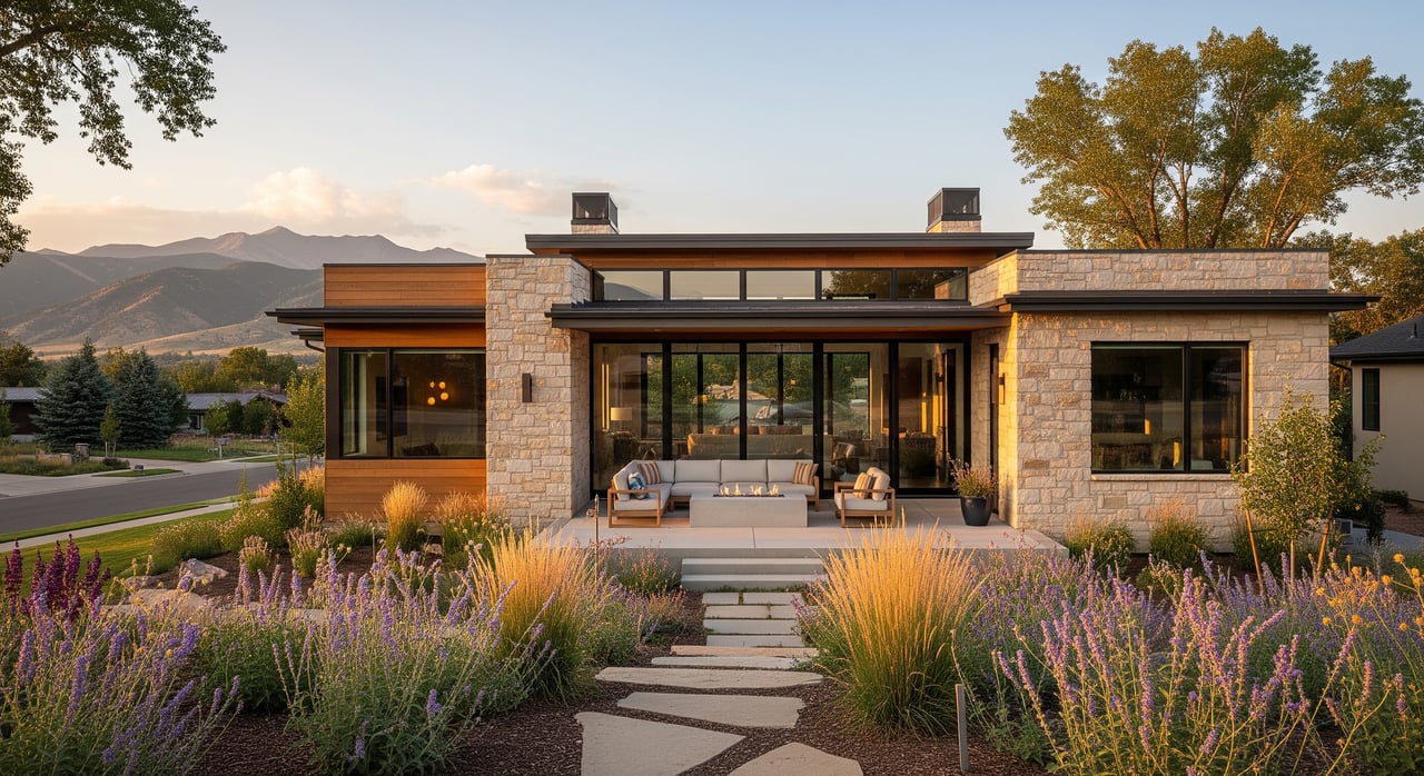
Housing and neighborhood vibe
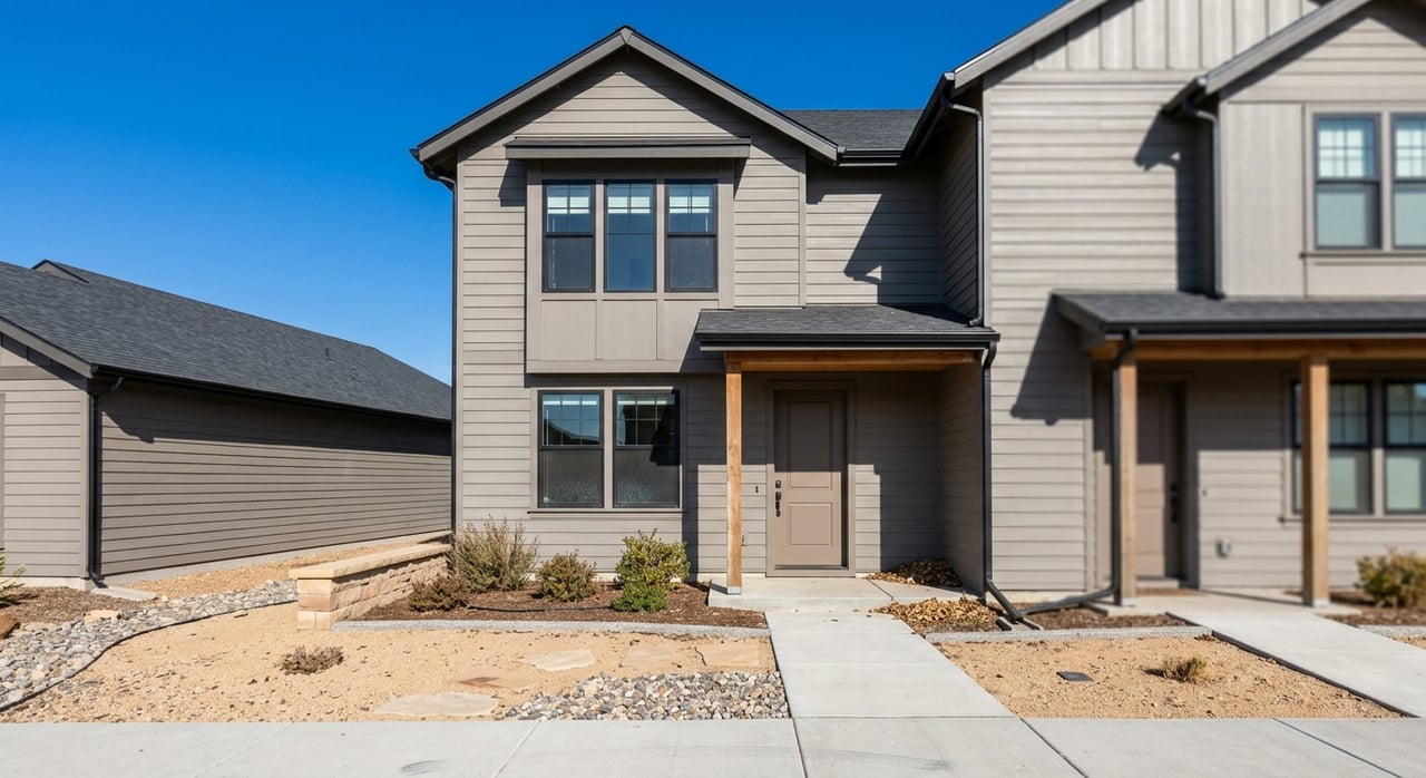
Southeast Fort Collins offers a broad mix of newer master‑planned communities, townhome and patio‑home enclaves, and select infill streets with earlier housing stock. You will see:
- Newer single‑family homes from the 2000s to today, often with open layouts, two‑car garages, and neighborhood parks nearby.
- Townhomes and patio homes that trade large yards for low‑maintenance living and closer proximity to retail and services.
- Small multifamily and condo communities near major corridors, with convenient access to transit and shopping.
- Pockets of older ranch or split‑level homes that may attract buyers interested in renovation or smaller lot sizes.
Many subdivisions include HOAs that maintain common areas, trails, or neighborhood amenities. Review covenants, fees, and rules during due diligence to understand the lifestyle and maintenance commitments that come with each community.
Schools and education access
Most public K–12 schools serving this part of the city are within the Poudre School District. Attendance zones can change, and assignments are property‑specific. Before you shortlist a home, confirm details using the district’s attendance boundary maps and lookup tools. For program offerings and performance data, refer to PSD resources and Colorado Department of Education reports.
Colorado State University (CSU) is a major nearby employer and cultural hub. Its campus and events influence housing demand and commuting patterns citywide. Explore parking, transit, and commute options through CSU Parking and Transportation Services.
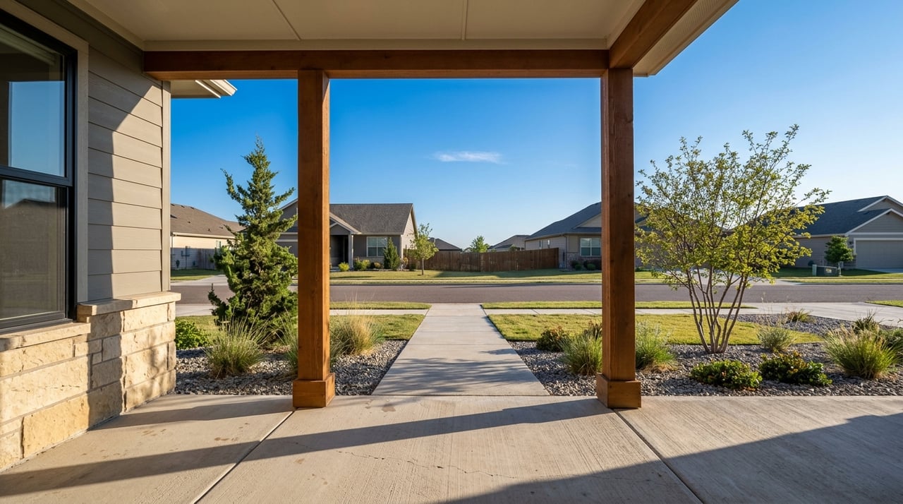
Parks, trails, and everyday amenities
Fort Collins invests heavily in parks, trails, and natural areas. In the southeast, you will find neighborhood parks, pocket parks, and regional trail connections that make walking and cycling part of daily life. Many corridors connect into larger citywide systems such as the Spring Creek Trail and Poudre River Trail.
- Use the city’s parks pages to find playgrounds, sports fields, and shelter reservations at City of Fort Collins Parks.
- Explore natural areas, rules, and maps at Fort Collins Natural Areas.
- For current path conditions and connections, check the city’s Trails resources.
Retail, grocery, and services cluster along Harmony Road and other arterials, so most neighborhoods in this area have convenient access to shopping and medical providers.
Getting around: commute and transit
If you work at CSU or visit downtown often, major arterials like Harmony Road, Timberline Road, and South College Avenue provide direct links across town. Proximity to I‑25 is a key advantage for regional commuters heading to Loveland, Longmont, or Denver. Expect typical peak‑hour congestion near campus gateways and busy shopping areas.
Public transit in Fort Collins is provided by Transfort. Service levels vary by corridor, so review routes and schedules for your specific starting point. You can plan trips and see active routes on the Transfort routes page. For regional connections to neighboring cities, the FLEX service offers additional options; see schedules at Transfort FLEX.
Fort Collins and CSU support bike commuting with an extensive trail and bike‑lane network. If you prefer two wheels to a steering wheel, start with route planning and resources from CSU Parking and Transportation Services and the city’s Trails pages.
Who tends to choose this area
Different lifestyles find a fit in southeast Fort Collins:
- Households that value newer construction and neighborhood amenities like parks and paths.
- CSU faculty, staff, and grad students who want a practical commute and varied housing types.
- Professionals who use I‑25 for regional travel and prefer lower‑maintenance options.
- Downsizers who like patio homes or townhomes close to services and healthcare.
Buying and selling tips in southeast Fort Collins
A smart plan and careful due diligence will set you up for success.
- Verify schools early. Use PSD’s boundary maps and confirm with the district before you write an offer.
- Review HOA details. Ask for covenants, financials, and amenity rules so you know what fees cover and what they do not.
- Understand new construction. Builder warranties, finish levels, and lot premiums vary. A knowledgeable agent can help compare phases and floor plans.
- Check parks and trails nearby. Use City Parks and Trails pages to gauge everyday access to outdoor space.
- Consider future plans. Look at the city’s development review portal to see active proposals that may affect traffic or retail options at Development Review.
- Confirm taxes and utilities. For property tax context and parcel details, start with the Larimer County Assessor.
What’s ahead for this corner of Fort Collins
Growth and infill continue to shape Fort Collins, including the southeast. Expect ongoing activity such as new subdivisions on remaining parcels, small infill projects within existing neighborhoods, and transportation improvements along major corridors as the city implements its long‑range plans. To see what is proposed or under review, check the city’s current cases at Development Review and related planning resources at City of Fort Collins Planning.
Ready to explore homes in southeast Fort Collins?
If you want a local guide who knows the neighborhoods, building practices, and the realities of today’s market, you are in the right place. With more than 15 years of Northern Colorado experience, new‑construction know‑how, and a client‑first approach, I help you compare communities, vet HOAs, and navigate offers with confidence. When you are ready to tour or talk strategy, connect with Seth Hanson.
FAQs
What counts as southeast Fort Collins?
- For this guide, it means areas east of South College Avenue, south of East Prospect Road, and west of I‑25, centered around Harmony Road and the Timberline and Ziegler corridors.
How are schools assigned in southeast Fort Collins?
- Most homes fall within Poudre School District. Always verify a specific address using PSD’s boundary maps since attendance zones can change.
Does southeast Fort Collins have transit to CSU and downtown?
- Yes. Transfort operates local routes that connect to campus and downtown, with coverage varying by corridor. See the Transfort routes page for current service.
What home types are common in southeast Fort Collins?
- You will find newer single‑family homes, townhomes and patio homes, and select condo or small multifamily communities near major roads, plus limited pockets of older infill housing.
Is southeast Fort Collins practical for I‑25 commuters?
- Generally yes. Many neighborhoods in this area have convenient access to I‑25 via Harmony Road and nearby interchanges. Plan routes and timing based on your specific start point and schedule.